
Winter weather creates dangerous conditions in Oxford
February 4, 2022
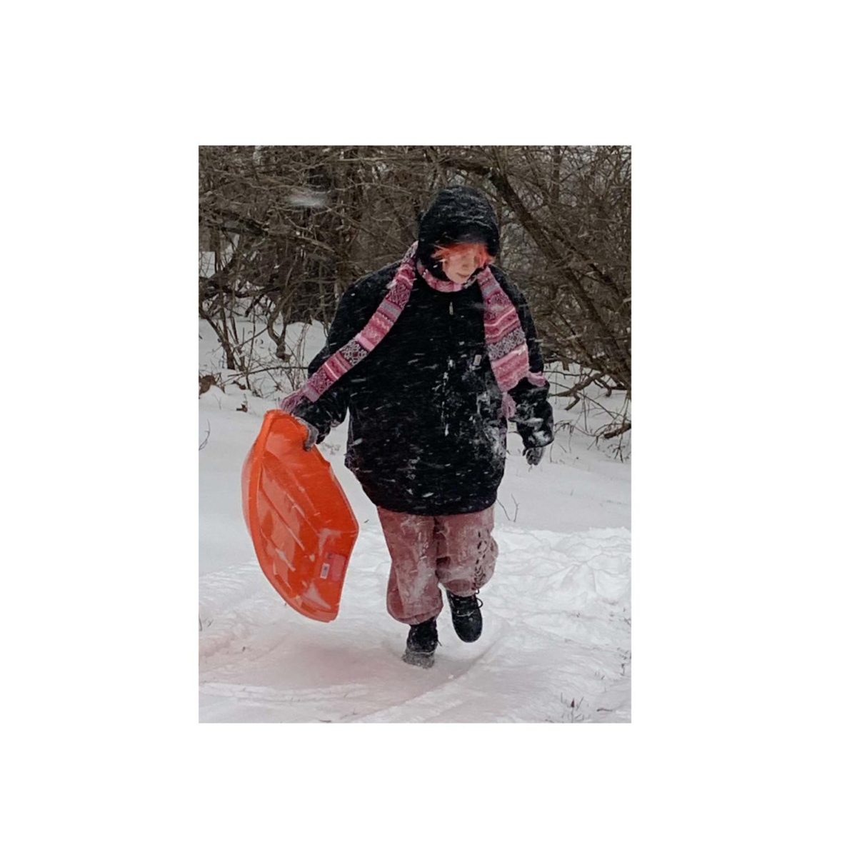
Although light snow was continuing in parts of southwest Ohio Friday, the massive storm that iced the roads, closed the schools and brought on power outages had abated by 10 a.m., according to the National Weather Service. Driving was still hazardous, and the temperature was a frigid 18 degrees.
The storm is spread from Colorado and New Mexico all the way to Maine. Locations impacted by snow and ice are expected to have temperatures remain below freezing and well below average for at least the next couple of days, the weather service reports.
Power outages in Oxford began at 5:48 a.m. Thursday due to damage to overhead wires and generators, reported the Oxford Police Department. While the cause is still under investigation, Duke Energy expected to have power restored to all locations in the Oxford area by 6 p.m. Thursday, according to the company’s website. No more outages were reported as of Friday morning and power had been restored to most areas in Oxford, according to police.
The City of Oxford is under a Level I snow emergency, declared by the Butler County Sheriff’s office. That was raised to a Level II on Thursday evening, meaning residents were urged to remove vehicles from designated snow routes and to stay home and avoid driving if at all possible. As the snow continued to fall Friday, Oxford police extended the snow emergency until 3 p.m. Friday.
“The cold temperatures are due to the emergence of arctic high pressure, which settled over the Plains on Wednesday,” the National Weather Service report read. “This high pressure locked in very frigid air over the Plains through this Friday (Jan. 4).”
According to Assistant City Manager Jessica Greene, preparations for the winter storm began Wednesday, with Oxford’s eight salt trucks being sent out to prep the streets. Plow trucks were sent out after snow accumulation slackened.
As a member of the Butler County Emergency Management Agency, the city has set forth plans in case any residents lose heat during the storm. The plan includes using Talawanda High School and Kramer, Bogan and Marshall Elementary Schools as possible shelters.
“The City of Oxford’s largest partner in this plan for shelter is the Talawanda School District,” Greene said, “Their school facilities are equipped with generators and can be used in the case of an emergency.” Talawanda Middle School is not a designated shelter, as it does not have a generator, she said.
Talawanda announced Wednesday afternoon that school was canceled for Thursday, due to the impending storm. That message was updated Thursday afternoon to announce schools would be closed Friday, as well. Miami University also announced Wednesday that the Oxford and regional campuses would be closed Thursday, and on Thursday afternoon extended the closure through Friday.
How the storm developed
There are three elements necessary to create a winter storm, including cold air, lift and moisture, according to the National Oceanic and Atmospheric Administration (NOAA) National Severe Storms Laboratory.
- Below freezing temperatures in the clouds and on the ground are necessary to form snow and ice.
- Lift allows for the moist air to form in the clouds and cause precipitation.
- Moisture allows for the formation of clouds and precipitation.
Winter storms are created from the clash of two air masses of different temperatures and moistures at a front. When an air mass of cold and dry air clashes with warm moist air pushing it away, it creates a cold front and causes a winter storm.
Winter storms can bring snow, sleet and freezing rain.
Winter storm warnings, ice storm warnings, winter storm watches and winter weather advisories have been issued by the National Weather Service for this winter storm.
Butler County issued a winter storm warning at 9 a.m. Wednesday, due to expire at 7 a.m. Friday. Most counties in the state were also issued winter storm warnings expiring at 7 a.m. Friday.
The winter storm warning indicated that the counties of Butler, Clinton, Fairfield, Fayette, Hamilton, Pickaway and Warren will experience snow and sleet accumulations of 1 to 3 inches, ice accumulation of two tenths to one quarter of an inch and wind gusts as high as 35 mph. The warning also indicated that power outages and tree damages are likely, snow could reduce visibility, and hazardous conditions could impact morning and evening commutes.
Most flights out of Cincinnati/Northern Kentucky International Airport and the Dayton International Airport were canceled Thursday. Passengers were encouraged to check the status of specific flights.
What’s in a name?
Naming storms – specifically tropical storms, cyclones and hurricanes – is officially up to the NOAA and the National Weather Service, which are government agencies. Those groups don’t apply names to winter storms.
However, that does not stop private organizations, such as The Weather Channel, from trying to put their brands on the weather – which is what happened with this storm – now unofficially known as “Landon.”
The cable channel develops an alphabetical list of names every year to identify such storms, according to its website. The “official” government weather groups do not identify the storm by name in their reports.